


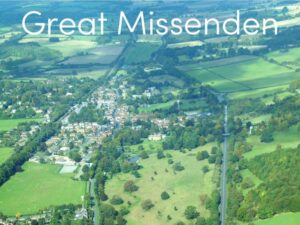
This lesson is part of a wider Geography unit called Great Missenden – A Village Settlement which is designed for students in upper KS2 (Y4-6).
This lesson is the last in the unit and is ideally done after the fifth lesson – Surveying Great Missenden High Street using Google Street View.
The presentation briefly outlines the RICEPOTS system for categorising land use. It then introduces students to a survey map showing land use in Great Missenden High Street.
The activity challenges students to interpret information from the survey. In the extension activity students complete a bar chart showing land use on Great Missenden High Street.
If you like this resource, please review it. We will happily send you a free resource of your choice in return for useful feedback. Contact us at ed@teachitforward.co.uk.
Reviews
There are no reviews yet.