


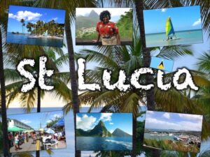
This lesson is part of a wider unit called Exploring St Lucia and is designed to teach KS2 students about a contrasting non-European country.
The presentation introduces the students to satellite photos. It then challenges them to use their detective skills to identify the various human and physical geographical features of St Lucia.
It is accompanied by a writing-based activity which challenges students to identify the features in the satellite photos and explain their reasoning. It is differentiated three ways:
Easier – Students identify 1 feature per satellite photo.
Medium – Students identify 2 features per satellite photo.
Harder – Students identify 3 features per satellite photo.
Extension – Students sort the features they have found into human and physical.
If you like this resource, please review it. We will happily send you a free resource of your choice in return for useful feedback. Contact us at ed@teachitforward.co.uk.
Reviews
There are no reviews yet.