


This lesson is designed for KS2 students. It can be taught as a stand alone lesson but is also available as part of three wider units which are available on Teach It Forward:
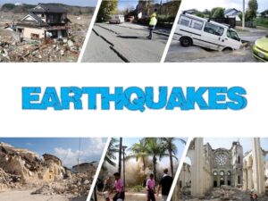
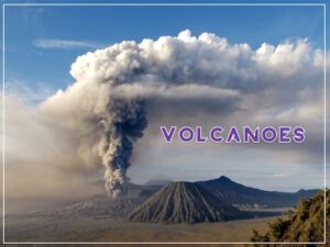
The presentation introduces the idea that the world’s crust is split into tectonic plates and looks at how these are related to volcanoes and earthquakes.
The activity challenges students to identify tectonic plates using a map. It is differentiated two ways:
Easier – Students identify the world’s tectonic plates using a colour-coordinated map.
Harder – Students identify the world’s tectonic plates using a plain map.
Extension – Students use an atlas to find out which tectonic plate countries of the world are located on.
If you like this resource, please review it. We will happily send you a free resource of your choice in return for useful feedback. Contact us at ed@teachitforward.co.uk.
Chelsea W –
This was a fun and challenging activity for my students to complete during virtual learning!
Brenda Buman –
Satisfied!
Luke Shone –
My children learnt a lot from this lesson, it helped they understand and identify the names of tectonic plates. Great resource.