


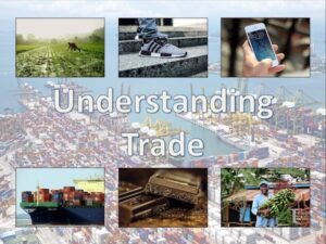
This lesson is part of Understanding Trade, a Geography unit designed for students in upper KS2 (Y5-6).
The presentation introduces the concept of highest value exports. It then draws a link between a country’s highest value export and its human and physical resources (e.g. transport links, oil reserves). Four example countries and their highest value export are then looked at in more detail.
In the activity, students are challenged to identify the highest value exports and GDP/capita of countries around the world using Google Maps/atlases and an online map. The activity is differentiated three ways:
Easier – Students identify highest value exports of 25 countries
Medium – Students identify highest value exports and GDP/capita of 25 countries
Harder – Students identify highest value exports and GDP/capita of 30 countries
If you like this resource, please review it. We will happily send you a free resource of your choice in return for useful feedback. Contact us at ed@teachitforward.co.uk.
Reviews
There are no reviews yet.